On the road again........
After leaving Wyoming, we made our way to Montana. Most of the day was spent in the car except for when we took a side detour and stopped at the Battlefield of Little Big Horn.
Here are some pictures of the terrain along the way to Montana.


I loved seeing the mountains in the background. Both Dave and I can't figure out why when we take a picture of them, they don't turn out how we see them. The beauty is some what lost. :( Then I pulled out my zoom lens and that helped a little.

This is zoomed in on the mountain range above.

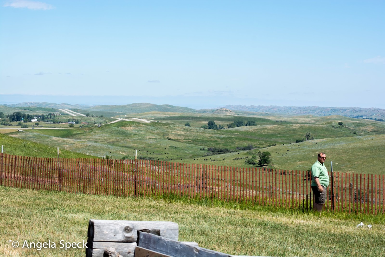
We stopped at a scenic pull off along the way and took a few pictures. In the distance you can see the Rocky mountain range. It's faint, but it's there.


This was on the other side of the scenic pull off spot.

Can you see how red our face is? I have been sunburnt for 2 days. Most of it comes from riding in the car, but I got a little extra when we went hiking the Volcano in New Mexico and the Cheyenne Mountains in Colorado Springs.


I think we ended up spending about 2 hours here. It was so interesting to see the history first hand.

These headstones were for the Indians that died on the battlefield. There weren't too many of them out there. By the time the government was able to put them out, the Indians had already moved their bodies.

Here is the cemetery where Custer and and the U.S. soldiers of the 7th Calvary fell. Initially they were buried where the headstones are, but were moved to the big monument at the front of the cemetery in a mass grave.

This is where two soldiers fell.

This trail takes you down to the bottom where the Deep Ravine is. Along the path there were more white headstones where soldiers fell.


The black colored headstone is for Custer. That is where he fell during the war.

This monument was for erected for all the soldiers, Indian scouts, and civilians that died in the war. They ended up all being buried under this monument. Close to 230 people.


As we drove along the back half of the National Park to where Reno came around to meet up with Custer, there were some horses on the land.


You can see in the middle of the picture a small amount of the river. That is the Little Big Horn.

This says, "This are was occupied by the Troops A, B, D, G, H, K and M, 7th U.S. Cavalry, and the pack train when they were besieged by the Sioux Indians June 25th and 26th 1876."

In the upper left corner of this picture is some flat land. That is where all the Indians were pitched their tipis.


If you look close you can see small white dots mixed in the brown grass. Those are the headstones spaced throughout the land where the soldiers fell.


After we left Little Big Horn the weather turned bad.... and I mean bad. It was the first time I drove the whole trip and the wind was blowing us across the road.
In the picture below you can see how nasty it looked. All that darkness was dirt and sand that the wind had kicked up. The weather alert came on the radio said that the wind gusts were at least up to 60 mph. I tell you what, I felt it too. Then it started to rain on top of all that too.

This is the sand road that the wind picked up.


This farm was trying to water their crops. However, I think the wind won this one.

And this is what the storm looked like. The temperature dropped to 54 degrees.

Once we made it to Billings, Montana we checked in our hotel, ordered a pizza and crashed for the night. It was kind of nice to rest a little and be able to catch up on editing photos from the trip. I can't wait to start making my shutterfly book of the trip.
Tomorrow we head to Yellowstone in Idaho.
No comments:
Post a Comment